SMARTIES - SMART Integrated Electronic Sensors for quantifying atmospheric transport and mixing

© Fraunhofer IIS

SMARTIES

"SMARTIES" stands for "SMART Integrated Electronic Sensors for quantifying atmospheric transport and mixing". In this research project, Fraunhofer IIS and the Max Planck Institute for Dynamics and Self-Organization (MPI-DS) are testing small weather balloons equipped with the wireless transmission technology mioty®. The aim is to develop a system of intelligent atmospheric tracers, known as SMARTIES. This will enable atmospheric data to be collected and processed in order to measure disturbances in the air and thereby improve forecasting models for extreme weather events or environmental disasters, for example.

It can be used to measure the dispersion of dust particles or particulates that occur during extreme weather events or environmental disasters. By predicting the spread in good time, suitable protective measures can be taken.

Situation

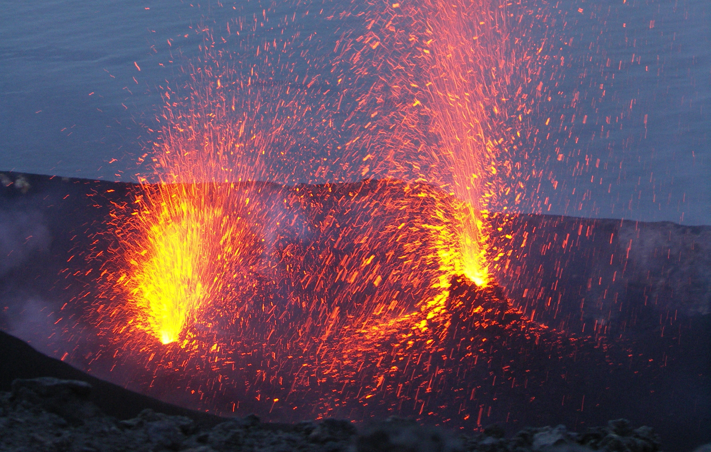
Natural disasters such as volcanic eruptions, floods and extreme weather events are occurring more and more frequently due to climate change. Man-made environmental disasters, such as the release of toxic gases, also have a negative impact on the environment and the people living in the surrounding area. In order to minimize the consequences of such events, reliable and rapid warning is essential. The same applies to forecasting pollen counts or the distribution of exhaust gases in different weather conditions.

Atmospheric data is crucial for forecasting and correctly assessing and reacting to environmental disasters. The generation of this data is very complex and is mainly carried out using airplanes or weather balloons. In addition, this data is collected over the long term and for a large geographical area. Conventional weather balloons often rise very quickly due to their size and therefore spend very little time in the area relevant for local measurements. This complicates situational forecasting for acute events and requires a new system that enables precise forecasts of atmospheric currents at a local level.


Solution

SMARTIES are miniaturized measuring instruments consisting of environmental sensors and a wireless communication unit. Both are integrated into a flying object. For the measurements, several of these sensors ascend in the atmosphere to an altitude of up to one and a half kilometers. During the flight, they transmit sensor data via mioty® with high energy efficiency and scalability to a network of base stations for real-time localization and data analysis. Localization takes place directly on the basis of the communication signals. This enables reliable coverage of a large area, low power consumption and high security of the transmitted data.

The SMARTIES project is being carried out under the leadership of Fraunhofer IIS together with the Max Planck Institute for Dynamics and Self-Organization. It is part of the Fraunhofer-Max Planck cooperation program. The aim of this program is the cooperation of applied research by the institutes of the Fraunhofer-Gesellschaft and basic research by the institutes of the Max Planck Society, thus enhancing the quality of science in Germany.


The Fraunhofer Institute for Integrated Circuits IIS has invented and further developed the mioty® communication technology. As part of the SMARTIES project, Prof. Dr.-Ing. Jörg Robert and Dipl.-Ing. Ferdinand Kemeth are implementing a localization solution based on radio signals under the leadership of Fraunhofer IIS. The project is primarily based on the institute's expertise in the fields of localization, networking and communication technologies.


The Max Planck Institute for Dynamics and Self-Organization offers expertise through basic research, including in the fields of fluid physics and biocomplexity. The scientific coordination for SMARTIES is the responsibility of Prof. Dr. Dr. h.c. Eberhard Bodenschatz, while Dr. Gholamhossein (Mohsen) Bagheri is responsible for the atmospheric measurements.

Projektinhalte

© iStock
KONICA MINOLTA DIGITAL CAMERA

The aim of the project is to optimize the local recording of atmospheric data and thus be able to react early to special events such as environmental disasters, the spread of dust or pollen as well as accidental atmospheric pollution. This can improve the prediction of weather events and natural disasters and thus increase the safety of people.

The balloons developed by the Max Planck Institute for Dynamics and Self-Organization are made of biodegradable materials. Data recording with mioty® is energy-efficient and does not require an additional battery. This makes the SMARTIES project a more sustainable alternative to conventional atmospheric monitoring options.

© Fraunhofer IIS

SMARTIES are miniaturized measuring instruments consisting of environmental sensors and a wireless communication unit. Both have been integrated into a flying object. During the flight, they transmit sensor data via mioty® to a network of base stations for real-time localization and data analysis with high energy efficiency and scalability. Localization is also carried out using the wireless LPWAN technology mioty® from Fraunhofer IIS. This means that no additional radio module is required for localization, which minimizes the weight of the flying object. In addition, the mioty® are miniaturized.

Further advantages of the mioty® radio protocol include reliable coverage of large areas, low power consumption and a high level of security for the transmitted data.

CloudKite from MPI-DS

SMARTIES are used as atmospheric tracers to take measurements at various positions in a specific area. Up to 100 balloons with a diameter of 30 to 70 centimetres are used for each deployment. The balloons are filled with helium and are themselves made entirely of biodegradable natural rubber.

Thanks to the miniaturized mioty® sensor, various measurement data such as temperature, air pressure and humidity can be collected in the atmosphere. The data from all the balloons is transmitted in real time to the base station on the ground, where it is analyzed. The position of individual balloons can be determined to within a few meters. As the tracers themselves also follow the dispersion with the wind, the measurements can also be used to determine the wind speed or the dispersion of substances.

© MPI-DS
Cloudkite tested in Finnland.

Several field tests are planned during the project, including in Germany on the Zugspitze and in Finland. Measurements at the Schneefernerhaus environmental research station on the Zugspitze have shown that atmospheric currents exhibit different patterns depending on the size scale. In particular, the range from a few meters to around 50 kilometers is decisive for the distribution of dust, particles and particulates.

In order to test the practical applicability of SMARTIES and its radio communication, several test measurements will be carried out in a defined geographical area in Finland. Data recording and processing will also be tested, as these should function reliably even in adverse weather conditions.

"Thanks to Fraunhofer IIS's radio technology, the weather balloons can be localized reliably and with minimal energy."

- Prof. Dr. Dr. Eberhard Bodenschatz, MPI-DS

"By collecting and analyzing data from the MPI-DS, we can make important statements to provide more reliable warnings of environmental disasters."

- Ferdinand Kemeth, Fraunhofer IIS